Orkneys and Isle of Lewis -- Mackenzie, Murdoch
£1,000
Auction: 26 January 2011 at 11:00 GMT
Description
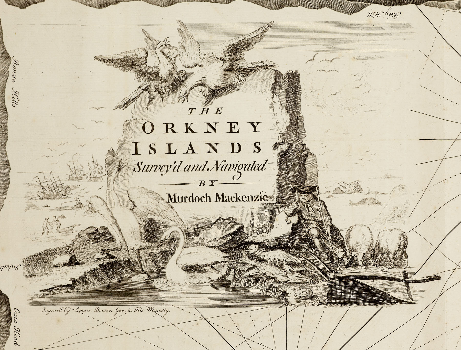
Orcades: or a geographic and hydrographic survey of the Orkney and Lewis Islands, in eight maps. London: for the author, 1750. Large folio, list of subscribers, 8 folding or double-page charts mounted on original guards, contemporary half calf, worn
Footnote
Note: The original edition of Mackenzie's first and most attractive atlas with eight charts and accompanying sailing directions. The survey was carried out between 1747 and 1749 and Mackenzie used a rigid triangulation framework for the first time so ensuring a hitherto unknown standard of accuracy laying down the coast line. Rare: copies recorded only at BL, Oxford, Edinburgh and National Maritime Museum.