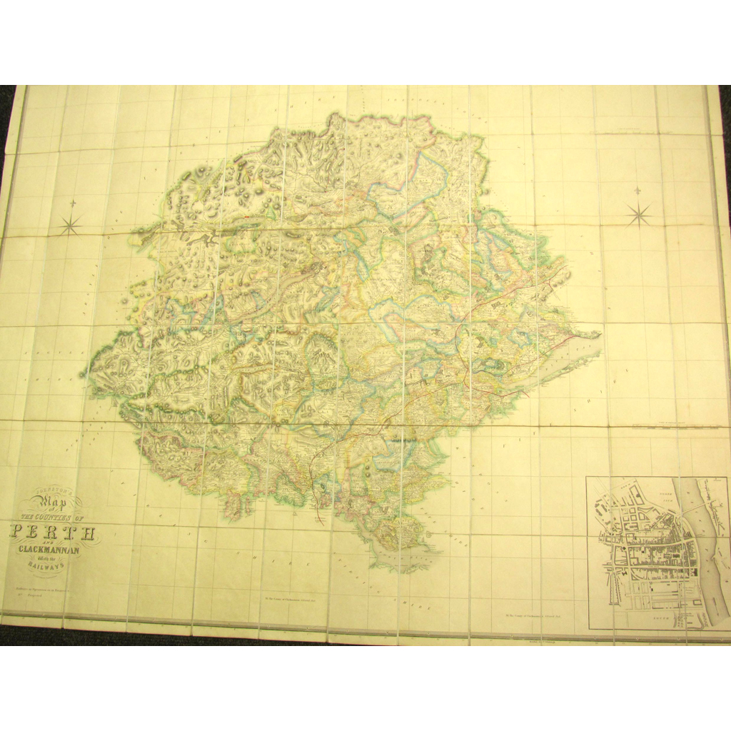
Johnston, W. & A.K.
£220
Rare Books, Manuscripts, Maps & Photography | 483
Auction: 11 January 2017 at 11:00 GMT
Description
Map of the Counties of Perth and Clackmannan with the Railways. Edinburgh, [c.1840] 110 x 103cm, dissected into 72 rectangles and laid-down onto linen, hand-coloured in outline, original red cloth gilt box with later label to one edge, some very slight offsetting, case a little worn and soiled