Description
Wyld, James
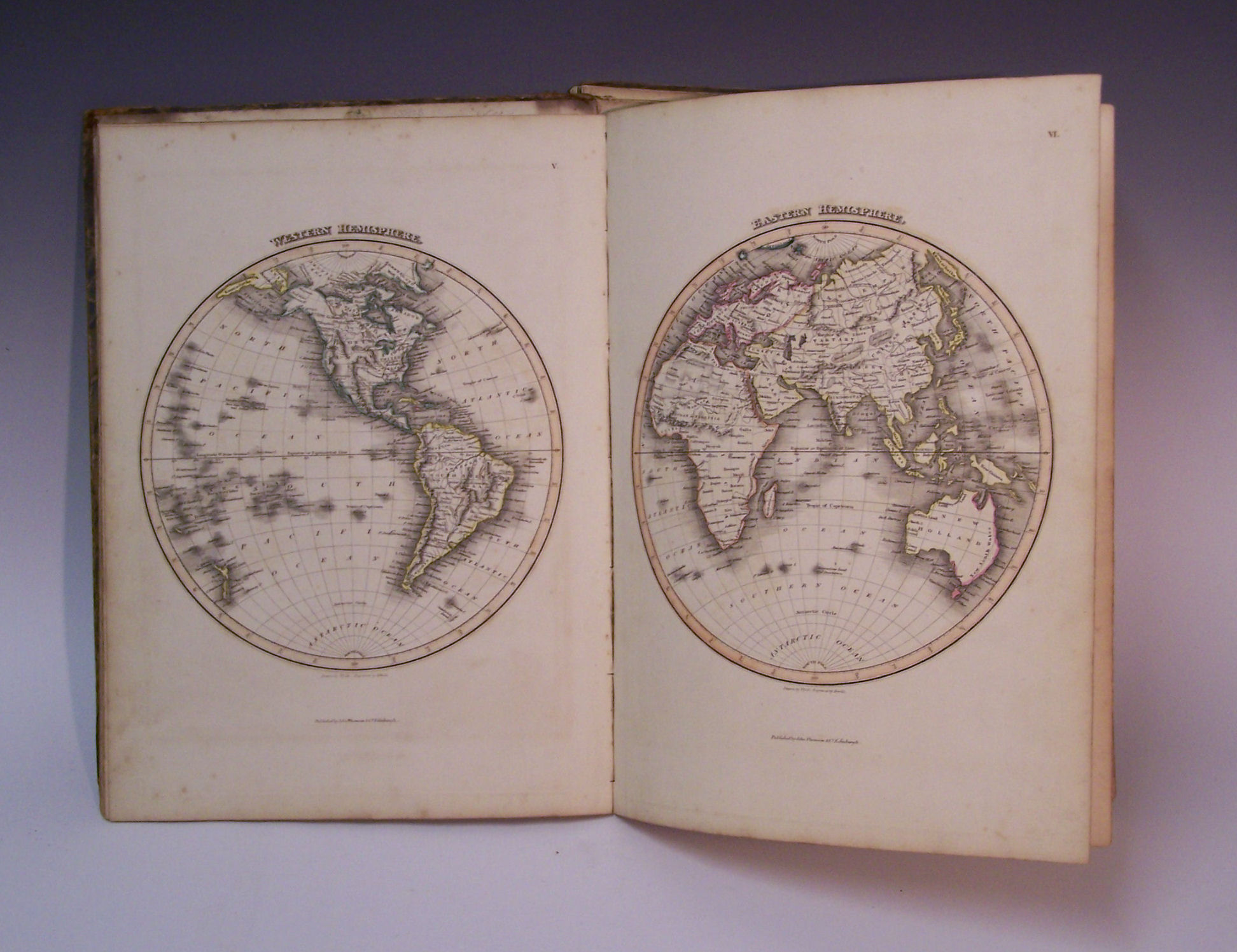
A General Atlas containing maps illustrating some important periods in Ancient History and distinct maps of the several Empires, Kingdoms and States in the World. Edinburgh: John Thomson, [c.1825], folio, engraved vignette, 8 engravings in text of which 6 coloured, 2 tables, 44 engraved maps, hand coloured in outline, contemporary half calf, paper label on upper board, worn, disbound, map XXXVII torn [no loss], some foxing and offsetting
A General Atlas containing maps illustrating some important periods in Ancient History and distinct maps of the several Empires, Kingdoms and States in the World. Edinburgh: John Thomson, [c.1825], folio, engraved vignette, 8 engravings in text of which 6 coloured, 2 tables, 44 engraved maps, hand coloured in outline, contemporary half calf, paper label on upper board, worn, disbound, map XXXVII torn [no loss], some foxing and offsetting