Cary, John. SALEROOM NOTICE: THERE ARE 4 OTHER MAPS OF SCOTLAND, NOT 6 AS CATALOGUED.
£410
Rare Books, Maps, Manuscripts & Photogra | 220
Auction: 3 September 2008 at 12:00 BST
Description
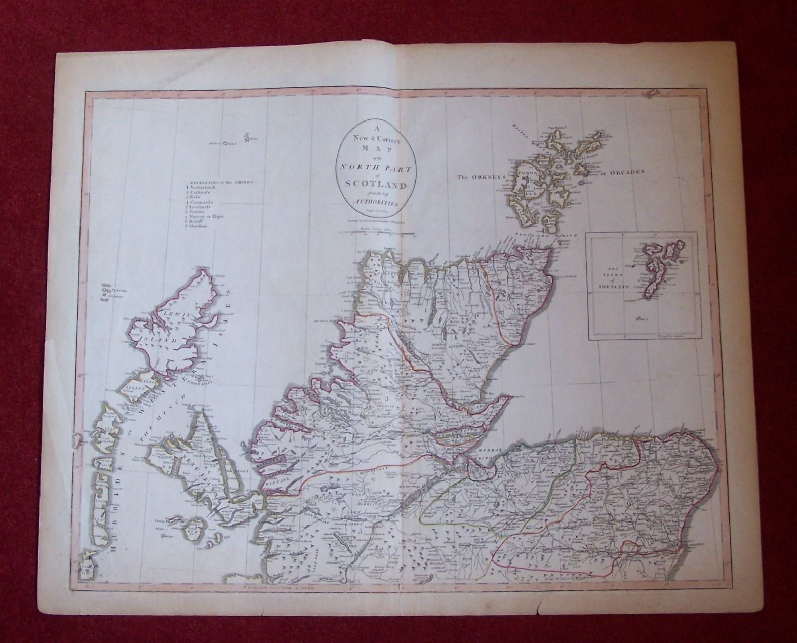
A new & correct map of the north part of Scotland. London, 1805, 58 by 48cm high, hand coloured in outline, previous fold, edges browned; Ibid. A new & correct map of the south part of Scotland. London, 1805, 54 by 43cm high, hand coloured in outline, previous folds, trimmed at left edge; Sanson, Nicolas L' Escosse delà le Taý, divisée en ses provinces. Paris, 1665, 62.5 by 54cm high, hand coloured in outline, previous fold, some browning; Ibid. L' Escosse decà le Taý, divisée en ses provinces... Paris, 1665, 61 by 45cm high, hand coloured in outline, previous fold, foxing; Blaeu, Jan. Scotia regnum. [Amsterdam: Willem Blaeu, 1635], 63 by 54cm high, hand coloured in outline, hand coloured cartouches, previous folds, with text on rear and attached leaves, some staining; and six other French maps of Scotland (11)