Description
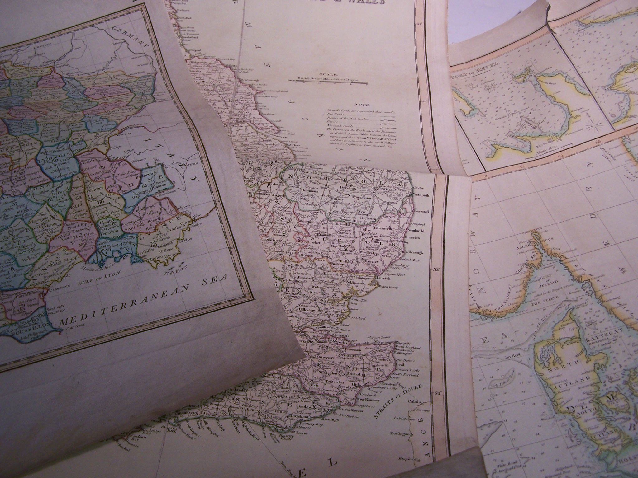
Bowles new pocket map of Turkey in Europe. London, c. 1800. 58 by 53cm high, hand coloured, previous folds, centre fold repaired, tear to edges; France exhibiting at one view its former & present divisions. [No place], c. 1798. Approx 41 by 53cm high, hand coloured, dustmarked, some short tears to edges; Hungary Kingdom of Hungary, principality of Transilvania. London, 1794. Approx 62 by 49cm high, hand coloured, previous folds, weak at centre fold, tears to edges; Thomson, John Chart of the North and Baltic seas. London, 1816. Approx 71 by 55cm high, hand coloured, some tears to edges; England England & Wales. London, c. 1830. Approx 54 by 66cm high, hand coloured, linen backed, trimmed; and 9 others of areas in Europe, majority torn (14)