A quantity of maps, over 200, including Thomson, John
£300
Rare Books, Manuscripts, Maps & Photographs | 434
Auction: 6 May 2015 at 12:00 BST
Description
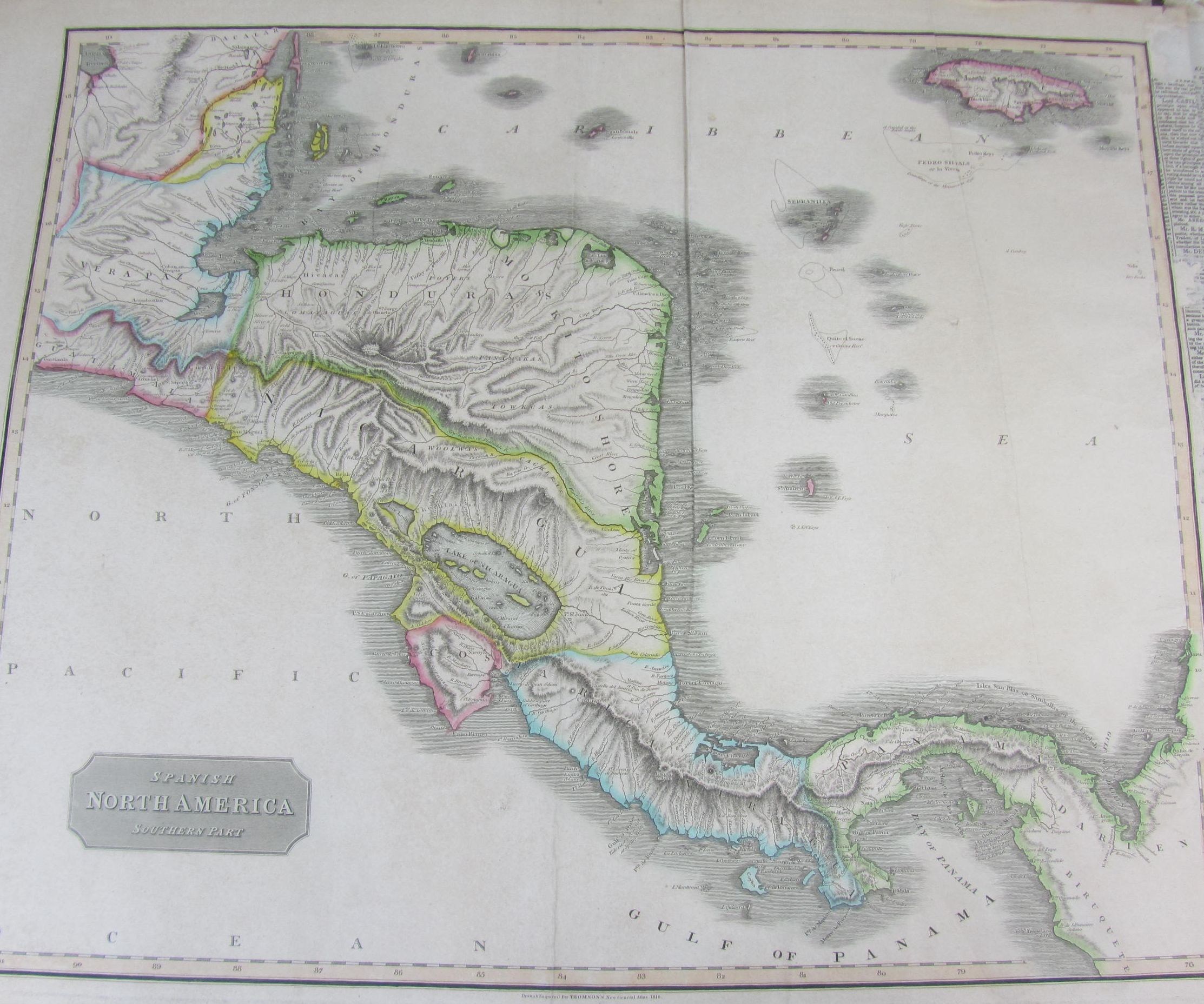
West India Islands: St. Christopher, St. Lucia, Nevis; Porto Rico and Virgin Isles, Haiti, Hispanola or St. Domingo; Martinico, Dominica; 3 maps, Edinburgh, [1815], hand-coloured in outline, each c.55 x 67cm; [Idem] Spanish North America, southern part. [Edinburgh, c.1830?] hand-coloured in outline, 54.5 x 68.5cm; [Idem] Europe after the congress of Vienna, 2 (of 4) maps showing the southern part of the continent, [Edinburgh], 1816, hand-coloured, 56 x73.5 cm; Society for the Diffusion of Useful Knowledge Australia in 1839. London: Charles Knight, [1840], c.34 x41 cm; Johnston, A.K. India; Italy, north part; Italy, south part; all Edinburgh, [c.1850], hand-coloured in outline, c.65 x53 cm; and a large quantity of other maps from around the world, sold not subject to return (224)