Description
Ewing
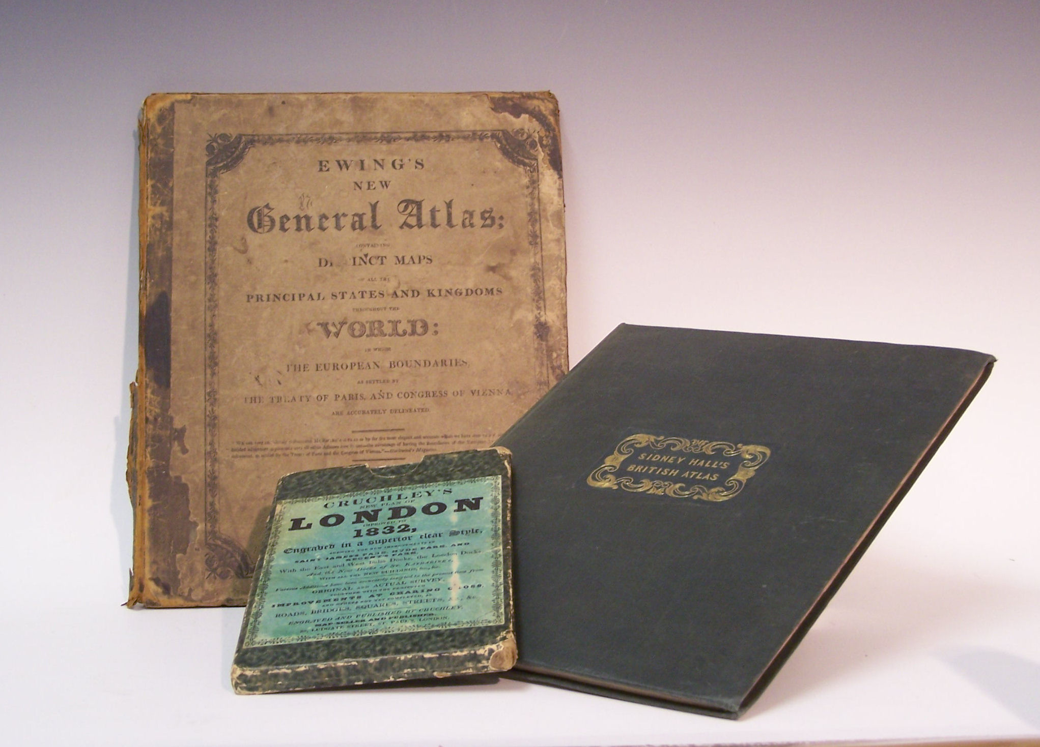
New general atlas containing distinct maps of all the principal states and kingdoms throughout the world. Edinburgh: Oliver & Boyd, 1826, 27 maps, hand coloured, some foxing and browning to all pages, centre fold of "World" map torn [no loss], contents stained, original printed boards, worn, boards detached; London Cruchley, G.F. New plan of London... London, 1832, one sheet, approx 51cm high by 102cm wide, hand coloured, linen backed, slipcase with paper labels, corners bumped; Britain Sidney Hall's British Atlas. London: Chapman and Hall, 1830-1832, 53 maps, approx 28cm high by 22cm wide, hand coloured, map of Bedfordshire torn [no loss], later green cloth (3)
New general atlas containing distinct maps of all the principal states and kingdoms throughout the world. Edinburgh: Oliver & Boyd, 1826, 27 maps, hand coloured, some foxing and browning to all pages, centre fold of "World" map torn [no loss], contents stained, original printed boards, worn, boards detached; London Cruchley, G.F. New plan of London... London, 1832, one sheet, approx 51cm high by 102cm wide, hand coloured, linen backed, slipcase with paper labels, corners bumped; Britain Sidney Hall's British Atlas. London: Chapman and Hall, 1830-1832, 53 maps, approx 28cm high by 22cm wide, hand coloured, map of Bedfordshire torn [no loss], later green cloth (3)