Thomson, John
The Atlas of Scotland
£1,063
Rare Books, Manuscripts, Maps & Photographs | 694
Auction: 13 July 2022 at 11:00 BST
Description
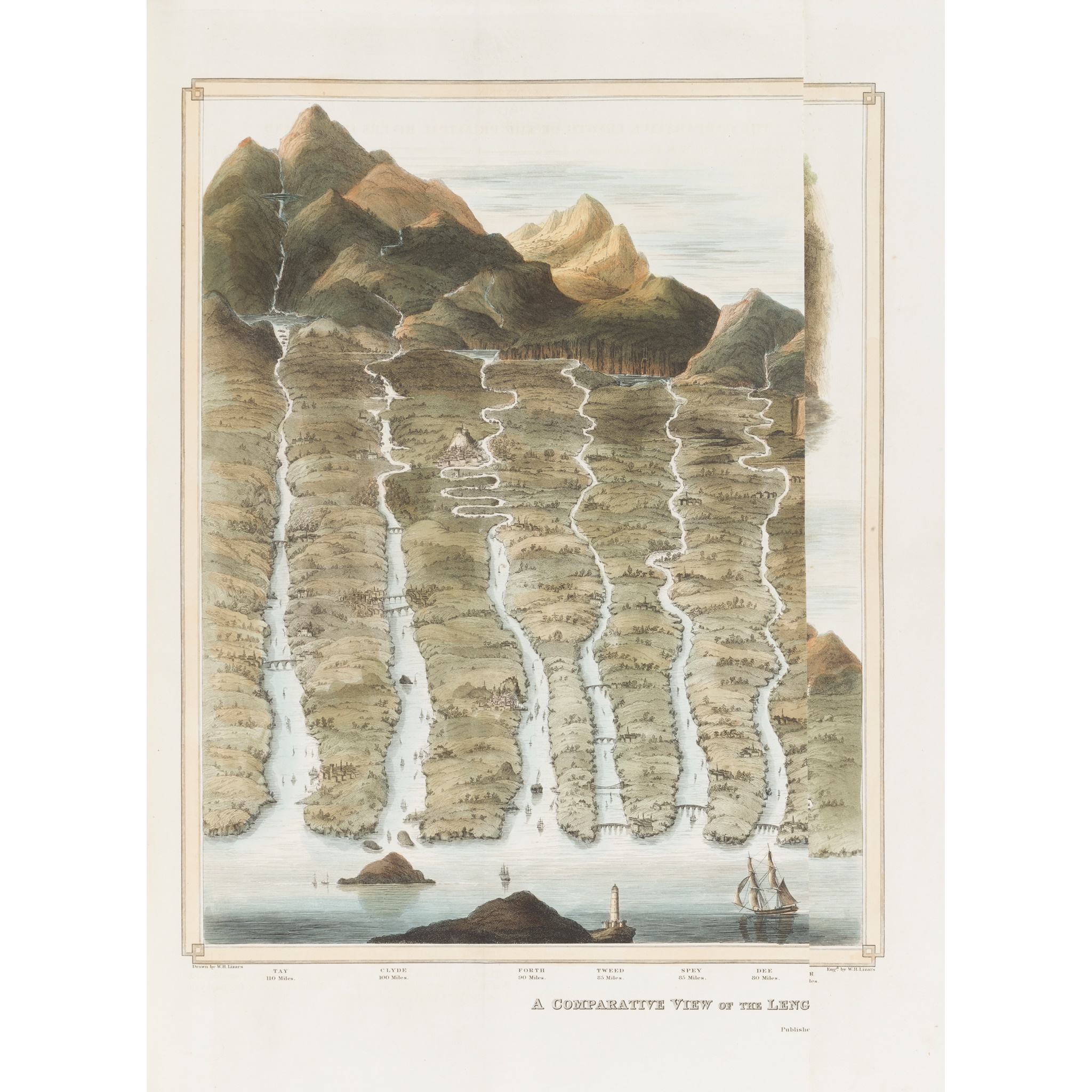
Edinburgh: for John Thomson & Co., 1832. Large folio (54 x 41cm), contemporary half calf, [4] viii 18, engraved 'Index Map' hand-coloured in outline, 2 engraved plates ('A Comparative View of the Heights of the Principal Mountains of Scotland' and 'A Comparative View of the Lengths of the Principal Rivers of Scotland') both hand-coloured and folding, 29 engraved maps, all folding and hand-coloured in outline, a few with inset town plans, many on multiple sheets, printed caption slips to versos, covers detached, Index Map, title-page and dedication leaf loose, variable faint offsetting, Edinburghshire map sheets 3-4 rumpled and with a few nicks along edges, Argyllshire split along join between two sheets, Fife and Kinross partly split along one fold, map of Skye browned [Chubb Scotland XXXII]
Footnote
Note: 'A splendid atlas' (Chubb).